

mLas 8 Lite
mLas 8
mLas X
Access to all basic maps, including road infrastructure maps and Sat-Monitor maps

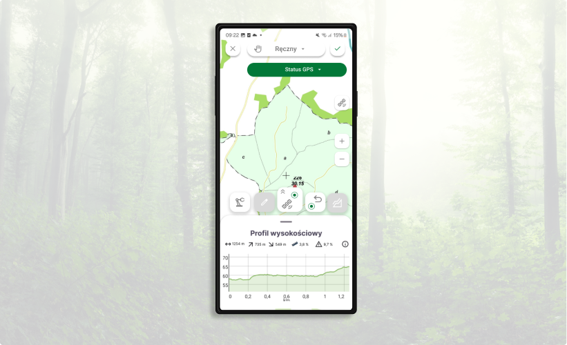
Measurements in three measurement modes and with advanced GNSS receivers
Compatibility with the advanced TX1 GNSS receiver
Data download directly from SILP
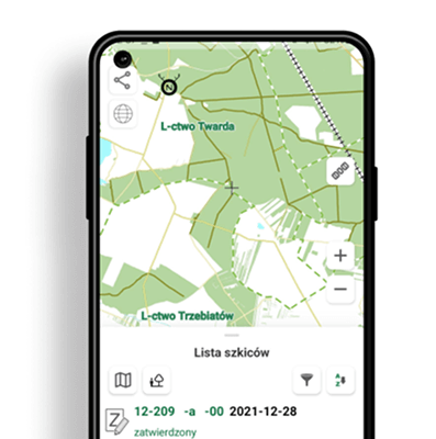
Access to a list of drafts as well as their source documents
Identifying roads on the map – possibility to verify data from road surveys in the field
Optimal display of raster (drone) data in Geopackage format
Creating an inspection report in an .xls file
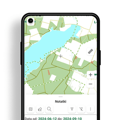
Add notes from field inspections
Ability to create your own measurement layers

Access to data on activities performed, forestry estimates, draft plans, orders, and statements
Print map to PDF
Route planning on DSD roads
Adding notes and drafts
Printing maps to PDF
Precise route planning for the harvester tool

Digital forms
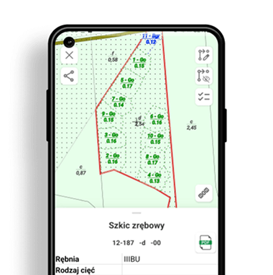
Editable drafts
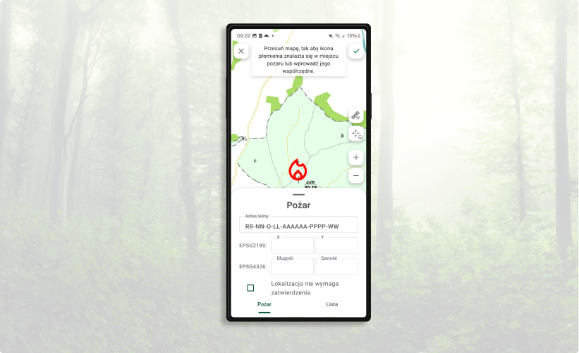
Fire response
Increased map performance